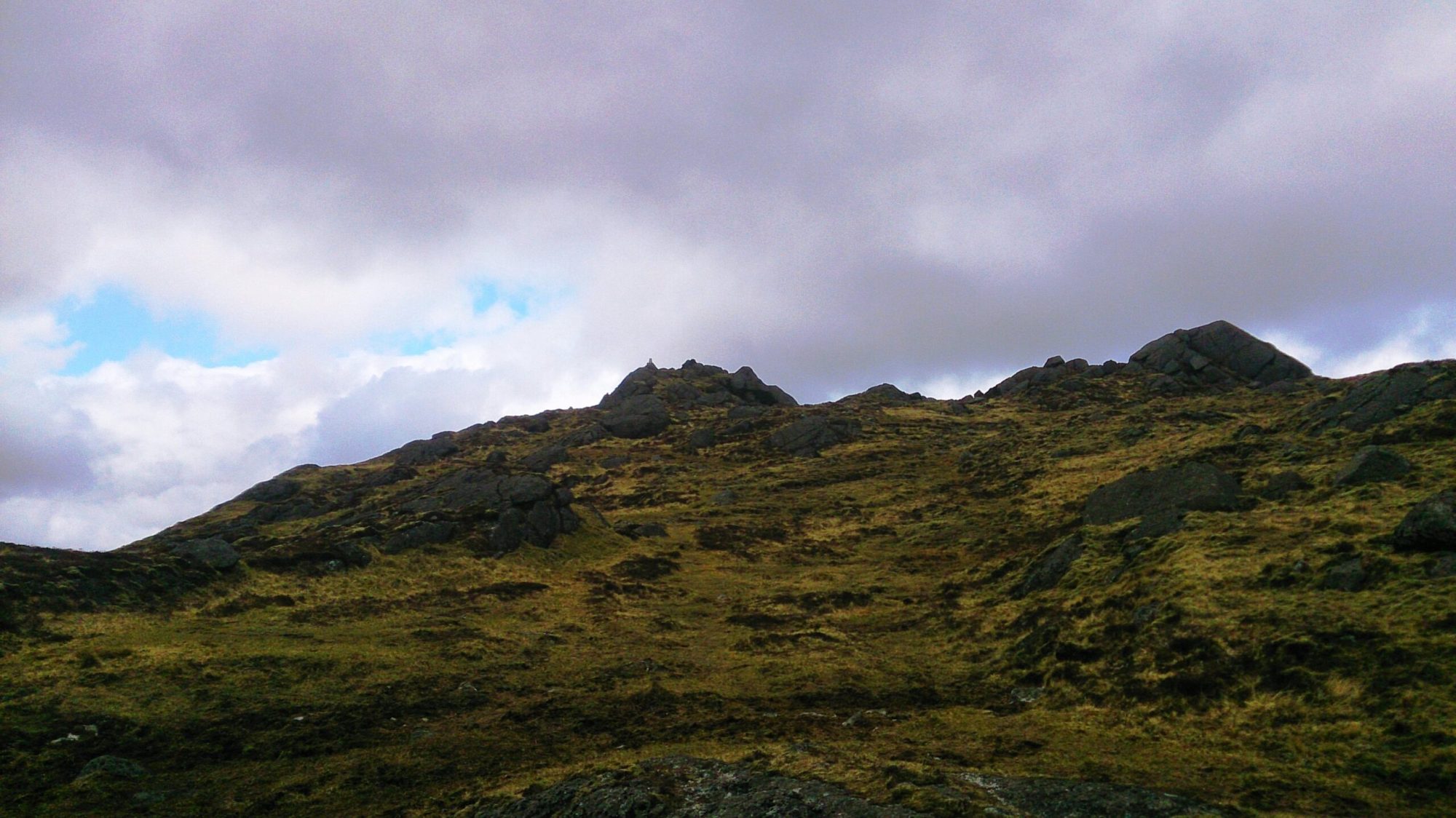
Featured Hike – Carlingford Mountain

It is entirely possible, as you are rushing up the M1 from Dublin towards the Mourne Mountains, to completely miss the magnificent hills of the Cooley peninsula. If you were to look up from the road between Dundalk and Newry you might see the wooded slopes of Black Mountain on your right, but you would miss the rugged beauty of Carlingford mountain further east, with the rocky summit of Slieve Foye and its undulating 6 kilometre ridge.
The Cooley peninsula juts out into the Irish Sea between Dundalk Bay and Carlingford Lough, at its northern end lies the border with Northern Ireland, but the Cooley’s sit entirely in the county of Louth.
For the hiker, the peninsula is marked by two northwest to southeast trending ridges, separated by the narrow Glenmore valley. The longer and more northerly ridge runs from Anglesey Mountain to Slievestucan and reaches its high point at Black mountain (508m). Overlooking Carlingford Lough is the shorter but more rugged ridge of Carlingford mountain that stretches from Foxes Rock in the northwest to Barnavave in the southeast. Its summit is Slieve Foye (588m), the highest point in this compact range and in County Louth.
The rocks that make up the mountain have a complex history, stretching back to around 460 million years ago when the region was a sedimentary ocean basin. The most recent activity being the emplacement of erosion resistant blocky granites around 50 million years ago.
Here too is the site of the legend of the Cattle Raid of Cooley (Táin Bó Cúailnge in Irish), where the famous 1st century queen of Connacht, Maeve, and her warrior band stole the famous Brown Bull of Cooley in a war with the king of Ulster. To mark the event there is now a 40 kilometre (26 mile) waymarked trail, The Táin Way, which encircles both ridges and traverses Maeve’s Gap, a pass between Slieve Foye and Barnavave.
Our hike starts in the lovely small seaside town of Carlingford, with its 13th century Anglo-Norman castle and medieval town walls and gatehouse.
Walking inland from the town we quickly find ourselves climbing up a narrow stony path between two ancient field walls. Ahead are the grassy slopes of the common land that leads us up to the broad saddle of Maeve’s Gap.
From here we turn northwest to follow a narrow and rocky path that begins to climb steeply up through crags of weathered granite until we reach the summit of Slieve Foye (588m). Reaching the summit is really only the beginning, as we now follow a faint path along the undulating and rocky ridge, our first target being the prominent granite outcrop of Eagles Rock (528m). From the ridge we get superb views; north across Carlingford Lough to the beautiful Mourne Mountains, west to Slieve Gullion, and south down the coast as far as Lambay Island and the Wicklow Mountains. These outcrops are the home of upland birds, ravens, stonechat and wheatear; as well as small insectivorous plants, the bright red sundew and the distinctive banana yellow butterwort.
This is a relatively small mountain, but its rugged and rocky nature, coupled with the far reaching views; definitely give it a big mountain feel.
From Eagles Rock we descend carefully to the broad pass of the White Bog, before climbing again to Raven’s rock and finally onto Foxes Rock (404m). This hill marks the end of our 6 km ridge walk, and we reluctantly leave the marvellous views to the ravens, wheatear and skylarks as we descend gradually eastwards over tussocky grass and rock to pick up the Táin Way for our return journey.
Initially we follow a wall that marks the forest edge but then move into the trees to find a broad forest track that gently rises and falls before finally dropping us back at our start point.
There should be time enough remaining for a look around Carlingford, a lovely little town, and for a visit to one of the cafés for tea and cake! A well-deserved reward and a fitting end to a great day in the Cooley hills.
This hike is graded as hard in our itinerary and would suit those used to regular hillwalking with some steep ascents, it is 17km in length, with around 800 metres of ascent in the day, and takes between 6 – 6½ hours to complete.
Other useful links:
http://carlingfordandcooleypeninsula.ie/index.php/carlingford-activities/carlingford-hill-walking
