
Featured Hike – Knocknahillion and Letterbreckaun – Maumturks

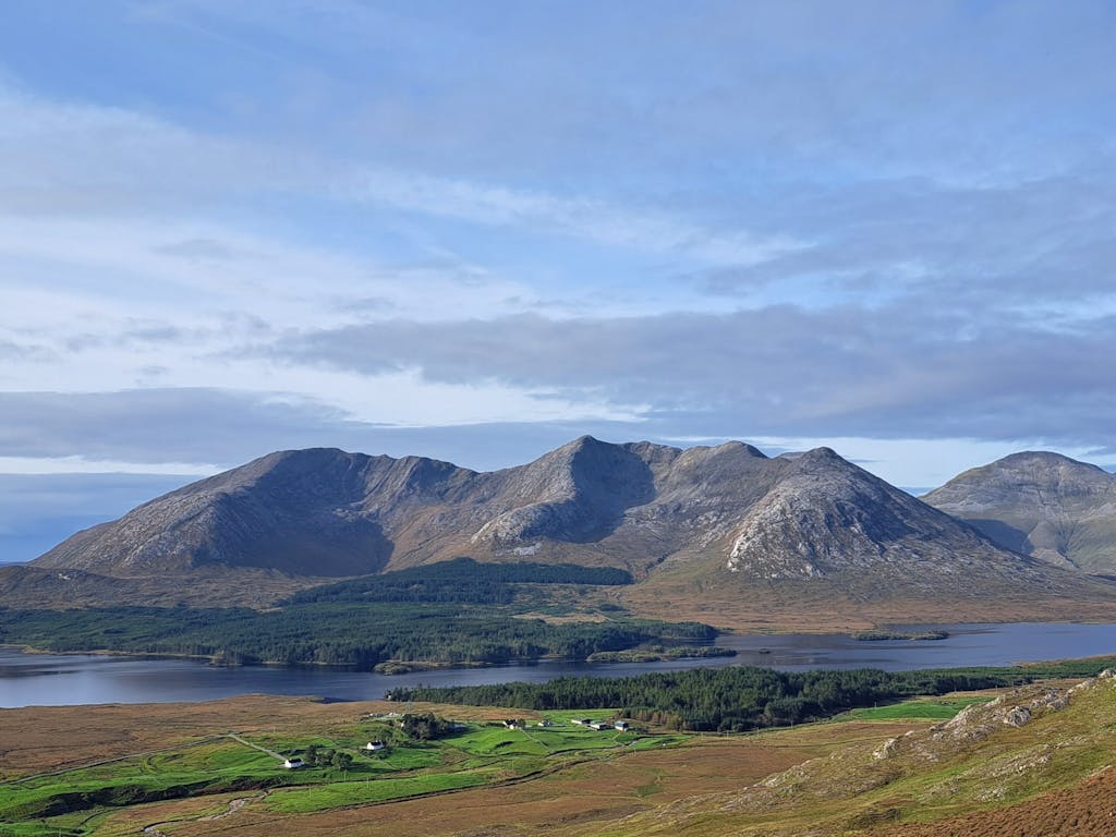
The Maumturks lie to the east of the 12 Bens, on the far side of Lough Inagh, in Connemara. Like the Bens they are made from tough quartzite rock that weathers to a pale hard gravel and which holds very little vegetation on the upper slopes where soils are very thin or non-existent. Like the Bens, the Maumturks are rocky and steep sided, giving them a rugged mountain feel that belies their relatively modest stature, the highest point being Barrslievenaroy at 702 metres. Their closeness to the Atlantic makes these mountains a tough proposition in bad weather.
As with many routes in these mountains car parking is an issue and with few places to park it is important to consider the locals and the access they require, so please act responsibly. Our hike starts on the road side pull-in on the R344, 400 metres south of the Inagh Lodge hotel. (GR L 848 533), here there is space for around 5 cars.
With Lough Inagh at our backs we head northwest up the gradual incline of a boreen to a junction with the Western Way. Ahead of us rises the bulk of Knocknahillion (606m) and to its’ immediate left is an unnamed stream cutting a valley into the mountain side. Following the right side of the stream up the increasingly rocky slopes we eventually reach an open flat cwm below Maumean. Here the route turns right and heads directly up the sparsely vegetated gravelly slopes to reach the summit of Knocknahillion with magnificent views across to Derryclare mountain and the 12 Bens.
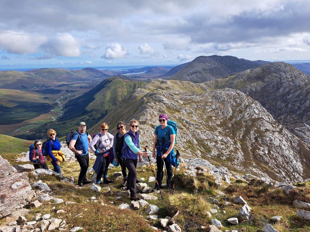
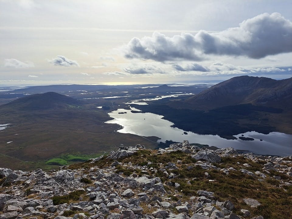
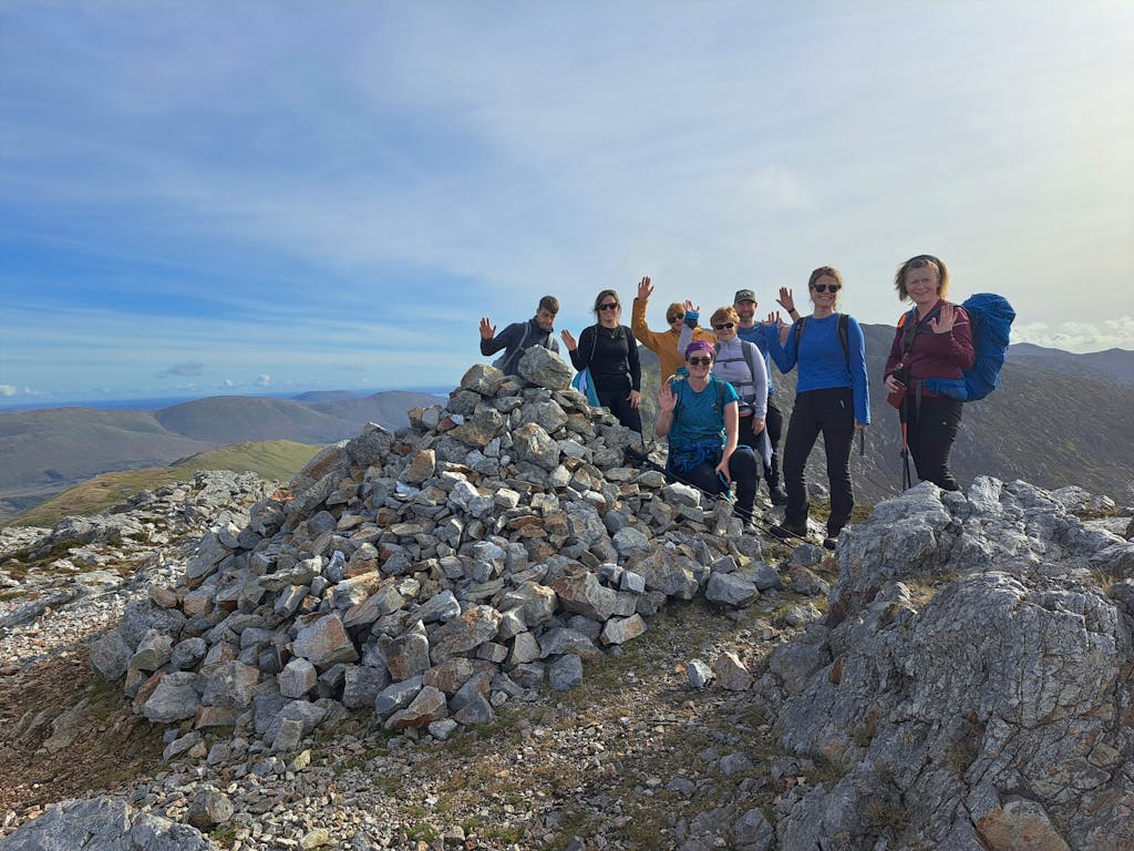
After catching our breath and taking in the wonderful vistas we now follow the ridge line north as it undulates over a number of minor tops before rising steeply to the open and barren summit plateau of Letterbreckaun. Navigation can be difficult here in poor weather so take care. At 667m Letterbreckaun is the second highest peak in the Maumturks and a superb viewpoint.
Now we must double-back on ourselves to avoid the steep slopes directly north of the summit and to regain the ridgeline, again careful navigation is the order of the day if visibility is poor.
The route now swings left and heads down the gradual ice-scoured slopes of Gowlaunard westwards, eventually dropping down steeper grassy slopes to the left of the ridge to reach the Western Way in the valley below.
Following the Western Way south we head back towards the boreen and retrace our steps back to the vehicles.
This hike is approx. 14.5 km with 900 metres of ascent, it will take around 6 hours to complete.
For details of our guided hike of this route please go to: https://mountaintrails.ie/guided-hikes-and-mountaineering-courses/maumturks-connemara-guided-hike/
Russ Mills is the founder and principle guide of Mountaintrails.ie, the premier guiding company based in Dublin.