
Taking and following a compass bearing from the map

Before being able to take an accurate compass bearing it is essential to understand the relationship between True North, Grid North and Magnetic North.
The Three Norths
Grid North
Grid North is the navigational term for the northward projection of the north-south gridlines on a map. In Ireland it lies to the east of both True and Magnetic North.
True North
True or Geographic North is aligned with the Earth’s axis and points to the geographic North Pole, the axis on which the Earth is spinning. In Ireland it lies west of Grid North and east of Magnetic North.
Magnetic North
Magnetic North is defined as the direction toward which the north-seeking, (red) arrow of a compass points. Magnetic North is the northern pole of the Earth’s magnetic field and it deviates from True North over time because the earth’s magnetic poles are not fixed in relation to its axis. The current magnetic north pole is located in the Arctic Islands of Canada and is moving very slowly eastwards. In Ireland it currently lies west of both Grid North and True North.
The relative positions of Grid, True and Magnetic North will vary, depending on where you are in the world.
For the purposes of mountain navigation in Ireland and the UK, True North can be ignored.
Taking a compass bearing from a map
Magnetic Variation
Magnetic variation is the difference in angle (in degrees), between Magnetic North and Grid North. It varies from place to place, and with time.
In those countries that do not use a grid system, magnetic variation is the difference in angle between Magnetic North and True North.
When taking a bearing from the map, we initially align the compass with the north-south grid lines, or Grid North. However, the red end of the compass needle is pointing to Magnetic North, and we must make a small adjustment to the bearing for this.
Information on the magnetic variation for a particular area can be found in the margins of the map. To calculate the Magnetic Variation we need three pieces of information from the map. 1) Year of map update. 2) The rate of decrease (or increase) of magnetic variation. 3) The current year.
From this information it is possible to calculate the adjustment applied to the compass bearing.
At the present time in Ireland the magnetic variation should be added when taking a bearing from the map to follow on the ground.
For example, in The Wicklow mountains the current magnetic variation (2020) is 3.0 °
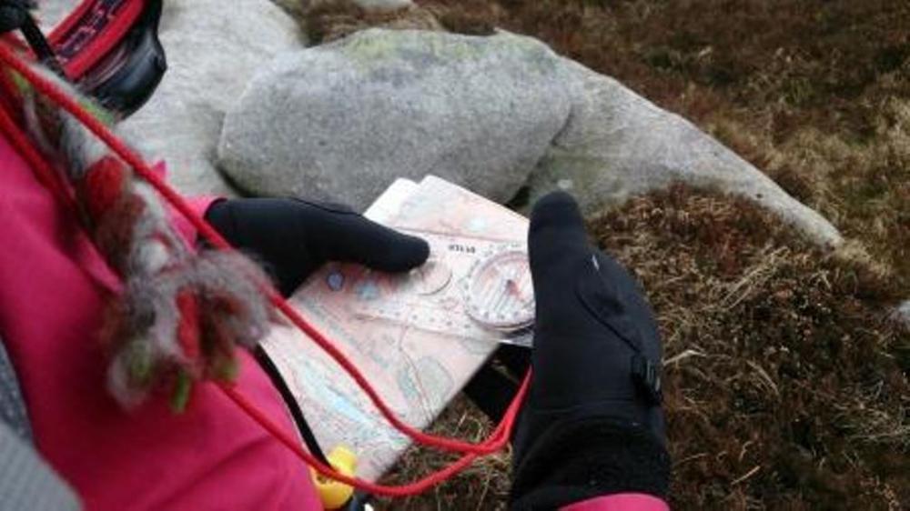
Taking a Bearing
Place the compass on the map so that one of the long lines on the base plate, (or the compass edge, though this is less accurate), is touching both your starting point and target point. Ensure that the ‘direction of travel arrow’ is pointing towards your target point. (diagram 1)

Hold the compass firmly on the map and rotate the compass housing until the orienting lines in the base of the housing are lined up with, (running parallel to), the north-south grid lines on the map; and the orienting arrow is pointing north. (diagram 2)

Take the compass off the map and read the bearing at the index line on the compass housing. This is the Grid Bearing. (diagram 3)

Calculate the magnetic variation for your location and add or subtract this from the grid bearing. Adjust the bearing at the index line accordingly. This is the Magnetic Bearing.
Hold the compass in front of you with the direction of travel arrow pointing directly away from you. Turn your whole body until the north end of the needle lines up with the orienting arrow (put red in the shed). The direction of travel arrow is now pointing you towards your target.
To learn more about mountain navigation, or to join one of our very popular Mountain Skills courses, go to: https://mountaintrails.ie/skills-courses/