5 Top Tips for Climbing Lugnaquilla mountain

Lugnaquilla is the highest mountain in the Wicklow Mountains National Park, and at 925 metres it is the highest point in Ireland outside of Co. Kerry.
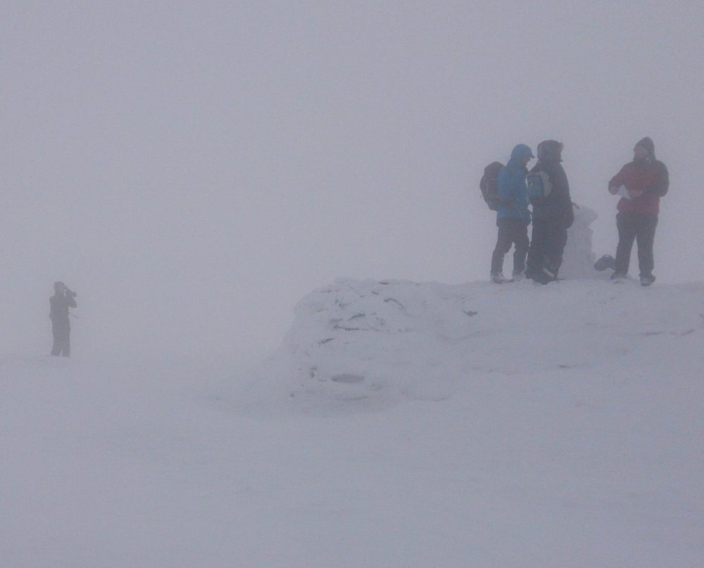
It can be a difficult mountain to navigate in poor visibility.
Shaped rather like a large upturned Christmas pudding with 3 large bites taken out of it, there are a number of ways to climb this mountain, all of which lead to the large stone summit cairn, topped by a triangulation pillar.
The summit plateau is a bare undulating surface of short, wind swept vegetation. Paths are indistinct at best, and very hard to follow in low cloud, which often shrouds this mountain.
To the northwest of the summit is the ‘North Prison’, a large glacial cwm with steep sides, carved out during the last ice age. Frequented by winter climbers, it offers the best chance of winter climbing conditions in the east of Ireland.
Close to the summit to the southeast is the South Prison, another cwm formed by the ice, also steep sided this can be approached through the forests of Aughavannagh.
Finally, the third ‘bite’ is a much larger but less steep glacial valley to the northeast, variously known as the ‘Green Corner’ or the ‘Green Banks’. Lugnaquilla can be summited with relative ease from this side, but beware, there are no paths and in poor visibility it is so easy to get disoriented here.

Winter Hiking on Lugnaquilla
The three most popular routes up the mountain follow the three ridges formed by the intersection of these glacial valleys, to the north, east and west. They are described below.
To the west of the mountain lies the Glen of Imaal, a military firing range owned by the defence forces. There are two permitted paths crossing the periphery of the range, but they are closed on most weekdays, when firing takes place. It is important to note that the valley here, the ground between Table Mountain and Camarahill has no permitted access, and is potentially dangerous even when firing is not taking place as there may be unexploded ordnance in the area.
If you are planning to climb Lugnaquilla, here are my Five Top Tips:
1) Plan your route
There are a number of ways to climb Lugnaquilla mountain, some are more difficult than others. Ascents via any of the three glacial cwms require confident footwork and capable navigation. There is no access to the North Prison from the floor of the Glen of Imaal.
Many climbers return by their outward path, but there are some route combinations that can give a superb horseshoe circuit and return you to your start point.
The three most popular routes to the summit are:
From Baravore via the North Ridge
Starting at the Baravore car park (GR T 066 942) this route crosses the Avonbeg river via a footbridge and then heads up into Fraughan Rock Glen via a forest track, pass through a gate and continue towards the valley headwall. The headwall should be taken on directly following a rocky steep path.
A boggy and heavily eroded path now heads west across the upper valley, rising as it does so to reach the North Ridge below Cannow mountain.
Turning south the path becomes dryer and clearer as it ascends the North Ridge before reaching a small cairn at the start of the plateau. The path now becomes fainter and turns gently to the right at it rises towards the large summit cairn.
In poor visibility the open plateau can cause some navigation problems, particularly in descent by this route, so ensure you have adequate navigation skills to deal with this.
From Baravore via Art’s Lough
This route involves a river crossing very early on (or at the end if you use it as a descent route), so it is important to check whether the river is in spate, if it is, or if heavy rain is forecast, use the North Ridge route above.
Start from Baravore but soon after passing through the gate on the forest track take a right turn on a rough track down to the river. Cross the river here, either by wading (it’s very shallow in dry weather) or using the stepping stones.
Turn right to the gate in the fence line and then head up the steep grassy bank to a boggy flat section of heather, Art’s Lough will be to your right. The path here is boggy and uneven but at the end of the Lough it rises up a grassy ramp which becomes increasingly rocky as it climbs to meet the East Ridge of Lugnaquilla at Leohard.
Ahead is a clear path that follows the East Ridge all the way to the summit plateau. Make a final left turn on the plateau to ascend to the summit cairn.
From Fenton’s via the West Ridge
This is the shortest and arguably the easiest way to climb Lugnaquilla. Starting at Fenton’s pub car park in the Glen of Imaal (GR S 972 935) the route follows a Defence Forces access track before rising to Camara Hill.
The route passes through the military range and it will be closed on weekdays when they are firing, you can check these dates on the Mountaineering Ireland website, or call the Army Information Centre at Seskin. It is almost always accessible at weekends.
From Camara Hill the route continues on an easy to follow path, steadily climbing to the plateau, to the west of the summit cairn.
For the final few hundred metres the path becomes faint and hard to follow as it gently rises to the summit cairn.

2) Take the correct kit
Air cools with an increase in height (this is why mountains have snow on them), and it can often be several degrees cooler on Lugnaquilla’s wide plateau than it is in the valley.
There is also a considerable increase in wind speed from the valleys to the summit. These two factors in combination can make the conditions on Lugnaquilla much harsher than expected, and this often catches out those who are not properly prepared for it.
Make sure you have adequate clothing to deal with the weather, hiking trousers and not jeans, several warm layers of clothing (not cotton) and a warm and waterproof jacket, as well as waterproof overtrousers.
Good hat and gloves are essential, and should be carried year-round when climbing this mountain.
The paths on Lugnaquilla can also be very wet and slippery therefore it is important to have supportive and grippy footwear, hiking boots with a deep sole pattern are best.
Runners are not adequate and will result in wet uncomfortable feet, with the added risk of a slip or fall, which could potentially result in injury.
Finally make sure you have enough food and drink for the day, and don’t forget those sugary snacks, you have an excuse this time!

3) Brush up on your navigation
The ability to navigate with a map and compass is essential on Lugnaquilla. The weather here can be harsher than on adjacent mountains and it is often shrouded in mist. The plateau is likely to be cloudy with poor visibility, and this is where the routes are most difficult to follow.
Many climbers find their way to the summit but struggle to find their way off when the cloud descends.
Make sure your map and compass skills are up to scratch. If you use a GPS enabled phone app, ensure you have adequate charge and remember that rain and cold can have a drastic effect on the unit’s ability to work properly.
4) Check the weather forecast
Lugnaquilla is known for having unique weather, often cloudier, wetter, colder and windier than its neighbours. It has been known to get as cold as -15C with the windchill on the summit plateau.
Remember to check the weather forecast before you head out and be prepared for sudden changes in the conditions. If the weather looks unpleasant in the mountains, it will be much more so on Lug.

5) Don’t go it alone
Solo climbs of this mountain are for the experienced and well-equipped hiker only. Go with more experienced pals, maybe someone who is familiar with your chosen route.
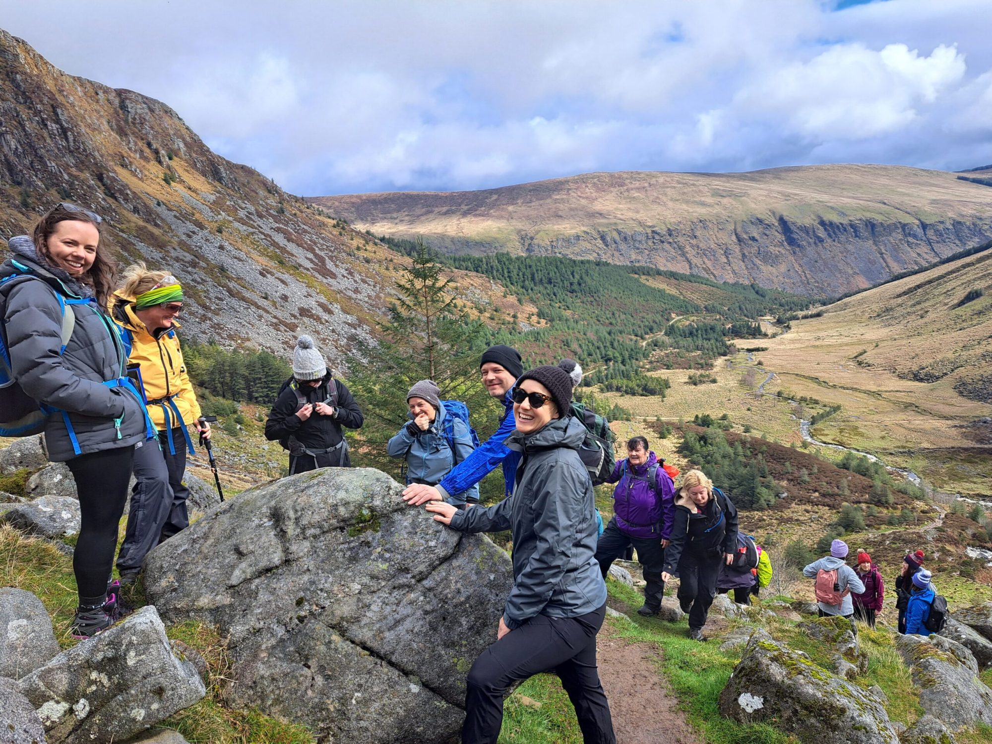
Ultimately the safest way to have a successful and enjoyable day is to join a guided hike provided by experienced and qualified guides such as Mountaintrails.
Mountaintrails.ie is a guided hiking and mountain training business based in Dublin, and is owned and run by Russ Mills.

